-
-
Notifications
You must be signed in to change notification settings - Fork 27
New issue
Have a question about this project? Sign up for a free GitHub account to open an issue and contact its maintainers and the community.
By clicking “Sign up for GitHub”, you agree to our terms of service and privacy statement. We’ll occasionally send you account related emails.
Already on GitHub? Sign in to your account
Add more config options for layers in the Map Config #2187
Comments
- Add MapInteraction, GeoPoint and GeoBoundingBox models
- Make the CesiumWidgetView methods smaller and more modular
- Move Map model attributes to the MapInteraction model (selectedFeatures, currentPosition, currentScale, and currentViewExtent)
- In MapAsset models, listen for changes to cesiumOptions and update Cesium model
- In map connectors, don't use new models as defaults to avoid instantiating new models unnecessarily
- Pass GeoPoint and GeoScale models directly to the ScaleBarView

Issues #2189, #2180, #2187
|
|
|
|
|
 - unit tests for zoom and showDetails Issue NCEAS#2187
- resolved unit test issues
* added clickFeatureAction config

* reviewdog edits

* dogreview

* linting

* Revert "linting"

This reverts commit 702e1a9.

* mapview removed check

* pr comments

* PR comments

* removed accidental commit

* Update Map.js

* Update MapView.js

* Update MapView.js

* Update MapView.js

* unit tests for MapInteractions.js  - unit tests for zoom and showDetails Issue #2187

* unit tests for MapInteractions.js

 - unit tests for zoom and showDetails Issue #2187
- resolved unit test issues

---------

Co-authored-by: Alona Kosobokova <alonakosobokova@MacBook-Pro-Alona.local>

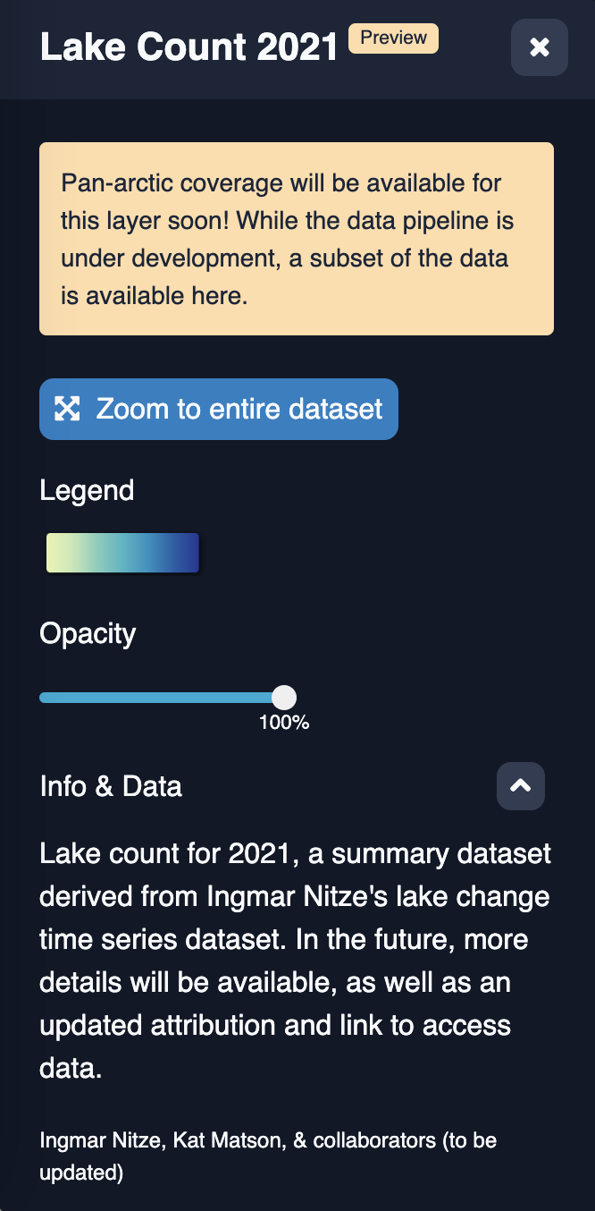
The layers that show in the Cesium map are configured with JSON. We would like to add a few more configuration options to the layer config:
clickFeatureAction: This is currently set at the map level, to either "showDetails" or "zoom". With show details, a layer panel pops up with additional info about the feature. With zoom, the map zooms into the bounding sphere for that feature. There are cases where some layers should zoom on click(geohashes) and others should show details on click (other vector layers in a data catalog). If no action is set, it should default to the map-level behaviour.showOpacitySlidera boolean that determines whether to show an opacity slider for the layer in the layer details panelshowInLayerList: Set to false to hide this layer in the layer list. Defaults to true. This will be used for issue Enable drawing arbitrary polygons on the Cesium map #2180, because we don't want to show the layer that we create that stores the polygon a user draws on the map. It could also be useful for any layers a portal wants shown all the time - e.g. a base layer.The text was updated successfully, but these errors were encountered: